Wheal Martyn to St Austell
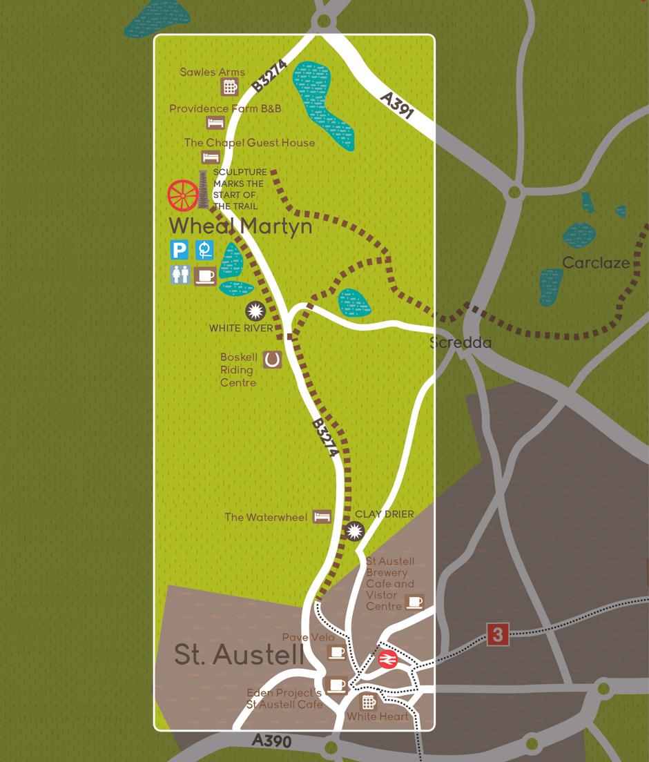
Directions and points of interest
Join the trail at the bottom of Wheal Martyn car park. After a few metres you’ll pass a metal chimney sculpture, created as part of a collection of art to celebrate the rich mining history of the area.
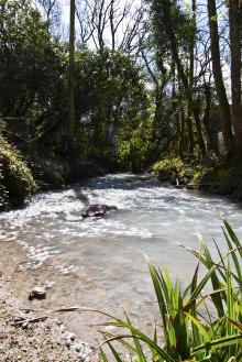
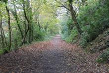
The trail runs for half a mile along wooded paths and through the small village of Ruddlemoor parallel to the road. As you leave the village the trail runs alongside a White River (so named because of the clay run off that turned it white, the white colour can still sometimes be seen).
Once you have crossed the William Cookworthy Bridge you’ll round a corner marked with carved granite boulders. At the boulders head right along the path. Continue following this path for the rest of the trail.
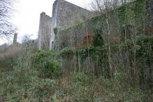
After a small bridge you’ll spot the towering chimneys of an old clay drier on the left side of the path. Now overgrown with vegetation, Carlyon Farm Kilns were once the largest coal-fired china clay drying kilns. Look out for remnants of the internal narrow gauge railway system, which served the drier running along the loading platform edge.
The trail continues on to run parallel to the modern day railway. Behind you there are pleasant views over the railway viaduct and of the clay hills on the skyline. The trail finishes in Tremena Gardens, a short walk from the centre of St Austell.
To view a more detailed road map of the trail entry point at Tremena Gardens click here
Note: Horseriders should be aware that as you approach Tremena Gardens, St Austell, there is a gate that will need opening and closing.
Extending the route
Extend the route by following the trail from Wheal Martyn to Eden Project.
Or make a small detour to visit Menacuddle Well, an ancient holy well inside a beautiful glade, next to a gushing waterfall. It’s just past the viaduct on Bodmin Road in St Austell. (Access notes: Most of the grounds around the well are accessible to wheelchair and mobility scooter users. Wheelchair and mobility scooter users will need someone to help get them down from the pavement on Bodmin Road so that they can cross the road. There is no ramp on that part of the pavement. There are no parking facilities.
Facilities and attractions
Facilities:
Eden Project
Food and drink, free wifi, accessible toiletsWheal Martyn
Horse tie-up, café, accessible toilet and baby changing facilitiesSt Austell Station
Cafe, toiletsSt Austell town centre
Shops, cafes, ATMs
Attractions:
Wheal Martyn
China Clay Museum and country parkEden Project
Biomes with plants from all over the worldSt Austell Brewery
Take a tour around one of Cornwall's largest independent breweries
Suitable for:
- Walking
- Cycling
- Horse riding
Distance:
1.9 miles (3.1km)
Terrain:
Cycling grade:
Highlights:
- Industrial remnants, including a kiln drier and a railway line
- Riverside paths
