Wheal Martyn to Sky Spur

Directions and points of interest
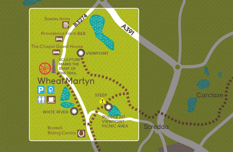
A large granite bolder pointing towards the Eden Project and St Austell marks the start of the trail at the bottom of Wheal Martyn car park.
After a few metres you’ll pass a metal chimney sculpture, created as part of a collection of art to celebrate the rich mining history of the area.
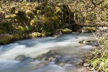
The trail runs for half a mile along wooded paths and through the small village of Ruddlemoor parallel to the road. As you leave the village the trail runs alongside a White River (so named because of the clay run off that turned it white, the white colour can still sometimes be seen).
Once you have crossed the William Cookworthy Bridge – named after the man who ‘discovered’ china clay in the 18th century – you’ll round a corner marked with several carved granite boulders.
Carry on up the hill in the direction signposted ‘Eden Project 4.5m’. After 100 metres you’ll reach a plateau, where you should continue to follow the blue signs for Eden project. The trail crosses a road and then bears right through the gate. There is now a steady gentle incline followed by a steeper winding section.
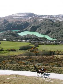
Look out for the luminous-coloured dam at Ruddle Pit to your right, which takes its hue from the mica particles used to wash the clay. This spot is good for a picnic or resting place.
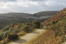
As the trail becomes very steep you will see a two-way granite way marker - continue straight on. You will soon reach a T-junction on the path take a left and follow the trail as it twists and turns, hugging the hillside for the remaining ¾ mile to the Sky Spur viewpoint. On a clear day you can see for miles accross the beautiful landscape.
Extending the route
This trail joins up with the 5-mile Wheal Martyn to Eden Project trail. Retrace the route back to the T-junction and follow signs to Eden Project.
Facilities and attractions
Facilities:
Wheal Martyn
Horse tie up, cafe, accessible toilet and baby changing facilities.
Attractions:
Suitable for:
- Walking
- Cycling
- Horse riding
Distance:
2.0 miles (3.2km)
Terrain:
Cycling grade:
Highlights:
- Stunning views from Sky Spur
- Bright green mica dam


